THE PECOS RIVER
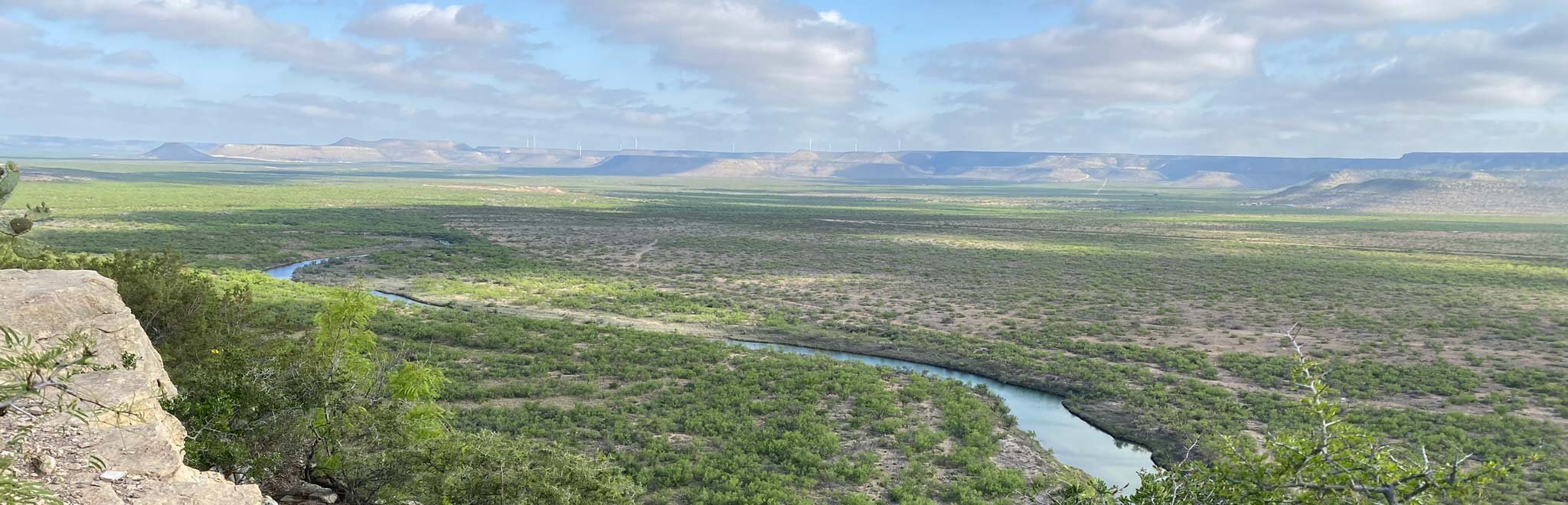
The Pecos River—located within the southwestern United States, crossing state lines between New Mexico and Texas—is a major tributary of the Rio Grande which makes the international boundary between the United States and Mexico. With headwaters in the Sangre de Cristo Mountains in New Mexico, the Pecos flows generally to the southeast for 926 miles to its confluence with the Rio Grande near Del Rio, Texas.

Map created for Friends of the Pecos River by the Meadows Center for Water and the Environment
From its origins to roughly 20 miles downstream, the Pecos River is a designated Wild and Scenic River managed by the United States Forest Service. Once over the state border into Texas, the river overlies the Pecos Valley Aquifer, an unconfined aquifer mostly made of alluvial deposits. Over 80 percent of groundwater resources of the Pecos Valley Aquifer are pumped for irrigation uses. The Pecos eventually reaches the Edwards-Trinity (Plateau) aquifer, which is largely composed of limestone and dolomite, leading to very hard water with high levels of total dissolved solids (TDS). Like the Pecos Valley, most of the groundwater is pumped for irrigation purposes, with the remainder being drawn for livestock and municipal supplies for the surrounding West Texas communities (Texas Water Development Board). The Pecos acts as the boundary for eight counties in Texas: Loving, Reeves, Pecos, Ward, Crockett, Crane, and Terrell (Texas State Historical Association).

The Pecos River’s 44,000 square mile drainage basin is largely encompassed within the Permian Basin, a major oil and natural gas producing area in West Texas, and a small portion of southeastern New Mexico. The climate of the region is generally semiarid or steppe, characterized by hot and dry summers, mild winters, and an annual precipitation average of only 10 inches. Typically, the rate of evaporation outweighs precipitation, leaving surface waters scarce. The watershed is dominated by the shrub/scrub land use classification, covering more than three quarters of the basin, with the second largest land use type classified as grassland/herbaceous. The portion of the watershed in Texas is contained within the larger High Plains physical region of the state, and the Pecos forms the northernmost boundary of the Edwards Plateau subregion within the High Plains (Texas Almanac). The Edwards Plateau can be characterized by rolling topography composed of limestone outcrops, and thin soils supporting shrubs and trees such as cedar, mesquite, and oaks.
The Pecos River Basin in its entirety is largely undeveloped and contains no major U.S. cities within its bounds. Roswell, New Mexico in the upper basin contains the largest population hub with close to 50,000, while the city with the largest population in the Lower Pecos River Basin is Pecos, Texas, which reported a population of just over 10,000 in 2019 (U.S. Census 2019).
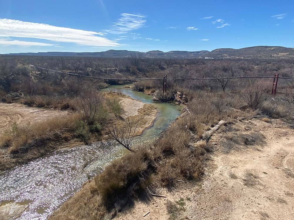
Water quality near the headwaters of the Pecos River in New Mexico is of exceptional quality, however the quality downstream decreases as the impacts of historic mining in the area become more evident (Edwards Aquifer Research and Data Center 2009). Red Bluff Reservoir is located on the Texas-New Mexico state line and serves as a defining feature of the Pecos. Under the Pecos River Compact implemented in 1949, the waters of the Pecos River were effectively divided between Texas and New Mexico with Texas being allotted 43 percent and New Mexico receiving 57 percent of the river’s average annual flows. The exception to this rule is unappropriated flood waters which are split evenly between the states. Over the years, the state of New Mexico has built up a credit on water delivered to Texas by delivering more than 43 percent of the river’s waters to Texas. Per the terms of the agreement, New Mexico can draw against this credit in times of drought, effectively eliminating the flow of the Pecos River into Texas. At this time, New Mexico has a significant “credit” built up and no flows are being released to Texas, or are expected to be released in the near future. (Source: A Path Forward)
“…the water’s so salty even a snake couldn’t drink it, but the old Pecos River’s been my life.”
—Charlotte Wilcox of Grandfalls, near Horsehead Crossing, excerpted from Bitter Waters: The Struggles of the Pecos River